PREVIOUS
✖
Status of India’s Coastline
April 13 , 2022
1442 days
1994
0
- The Ministry of Earth Sciences informed the Lok Sabha about the status of the coastline of the Indian mainland.
- The National Centre for Coastal Research (NCCR) is monitoring shoreline erosion since 1990 using remote sensing data & GIS mapping techniques.
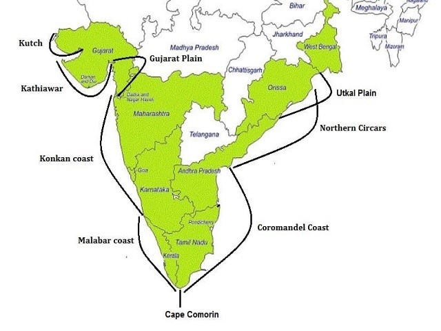
- About 6,907.18 km long Indian coastline of the mainland has been analyzed from 1990 to 2018.
- Of the 6,907.18-km-long coastline of the Indian mainland,
- 34% is under varying degrees of erosion,
- 26% is of an accreting nature, and
- The remaining 40% is in a stable state.
- In terms of percentage, West Bengal with a 534.35-km-long coastline suffered erosion along about 60.5% of the coast over the period from 1990 to 2018.
- This is followed by Kerala on the west coast, which has 592.96 km of coastline and 46.4% of it faced erosion.
- Tamil Nadu, with a coastline of 991.47 km, recorded erosion along 42.7% of it.
- Gujarat, with the longest coastline of 1,945.6 km, recorded erosion along 27.06% of it.
- In the Union Territory of Puducherry, with a 41.66-km-long coastline, about 56.2% of its coast recorded erosion.

Leave a Reply
Your Comment is awaiting moderation.